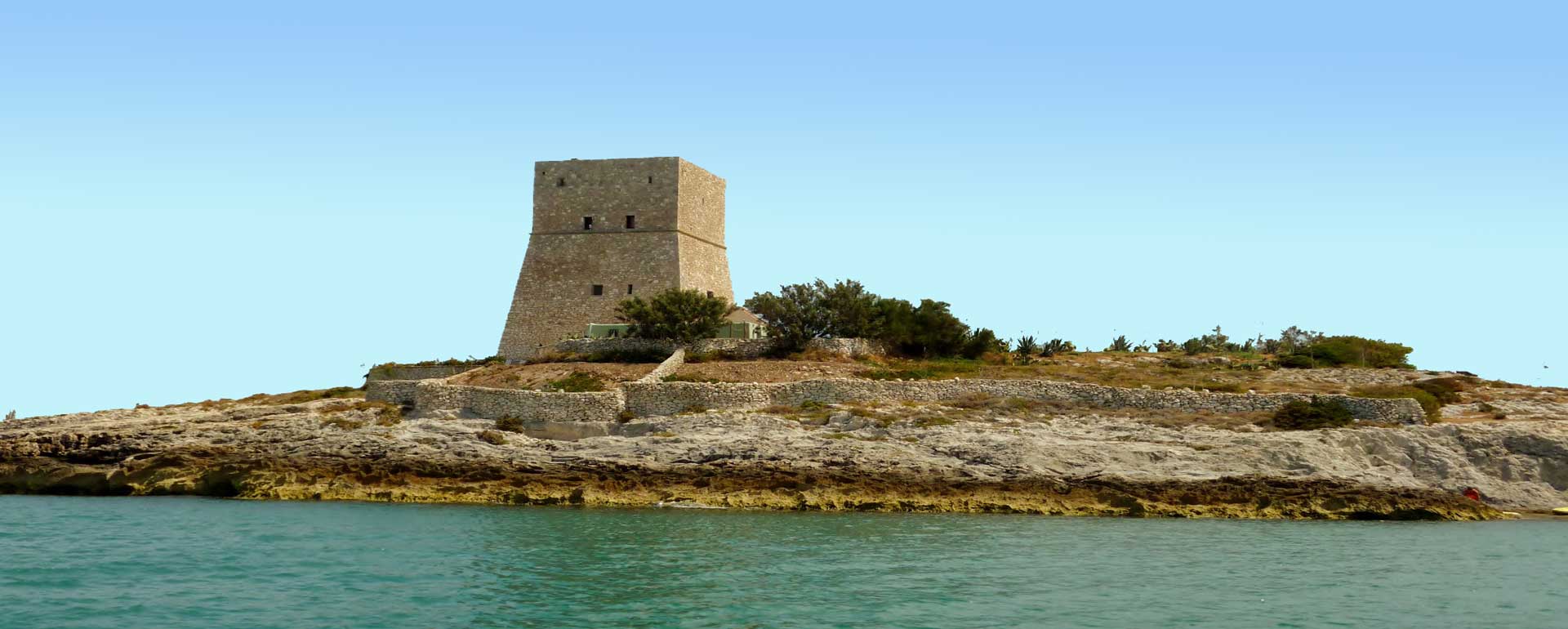
Torre costiera sul Gargano
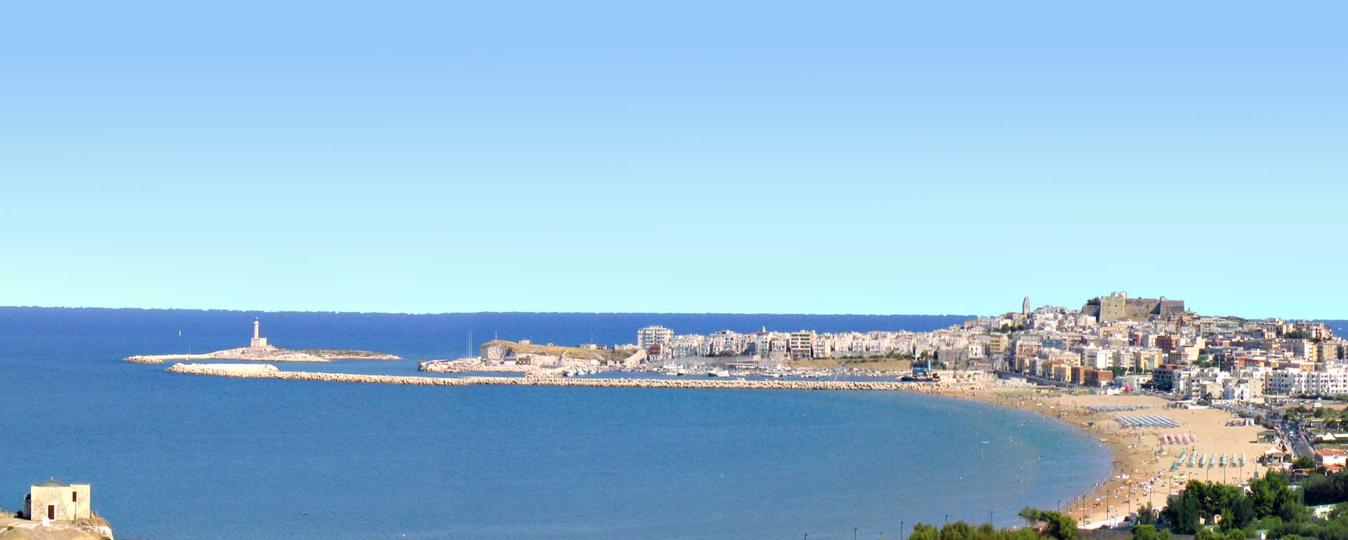
Panorama di Vieste da San Lorenzo
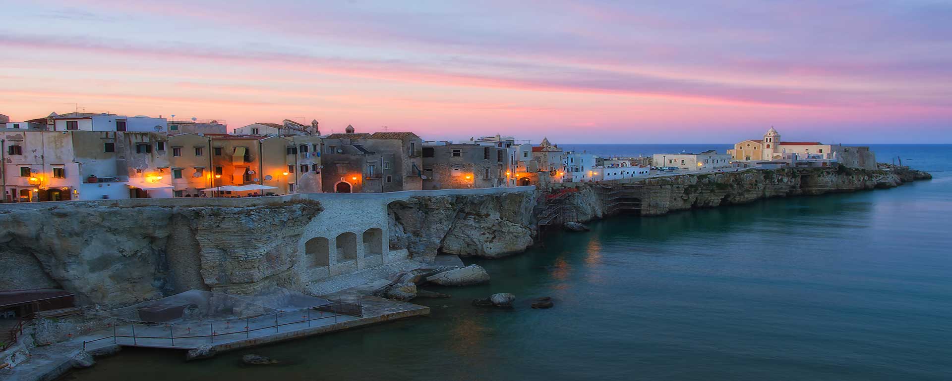
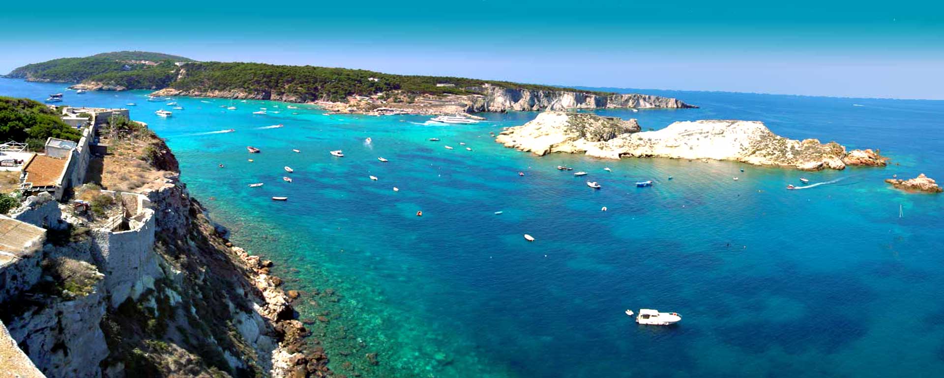
Punta San Francesco a Vieste
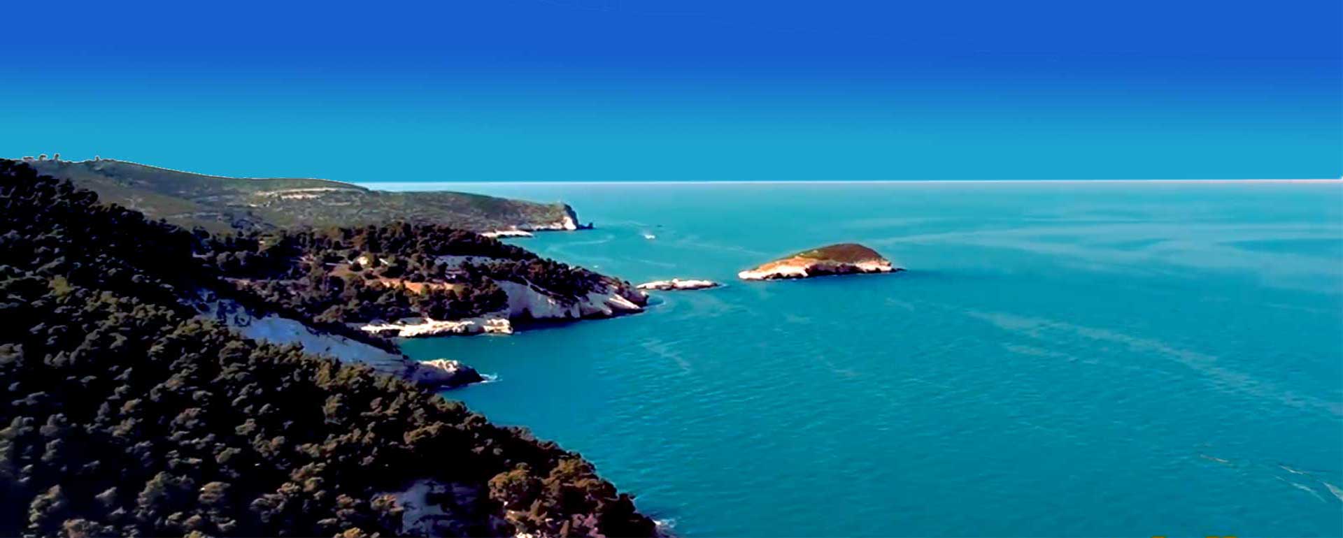
La costa del Gargano
The Gargano or Monte Gargano is a promontory in northern of Apulia belonging to the province of Foggia which juts into the Adriatic Sea in a nest-east direction. It is some 65 km long, 40 km wide, covers an area of 3,015 sq. km and reaches its highest point at Monte Calvo (1065 m). The promontory Monte Gargano ( Monte Gargano is a mountain in Apulia - Italy ) is a limestone and dolomite massif surrounded on, three sides by sea and bordered by the Candelaro and Fortore rivers to ihe west. Low hill-land separates it from the Apennines and gives it thai unique geographic identity which has made it a sort of biological island and which in the past led to an isolation which profoundly affected both the population and culture. The origins of the Gargano promontory are linked to a cretaceous uplift dating back to theMesozoic age (about 70 million years ago) but its present configuration was defined in the last 10,000 years above all due to fluvial transportation which/armed the Tavoliere to the east and south and the Sipontoni lagoon and Capitanata marshes around the gulfo Manfredonia, while the accumulation of sediments led to the formation of coastal bars which transformed what were originally gulp open up to the sea into the Lesina and Varano lagoons. A unique characteristic of the Gargano is the widespread karst phenomena, an erosion process where water, enriched with carbon dioxide, is able to disaggregate and model the limestone, creating dolinns, swallow holes, underground cavities, rock bridges and other characteristic phenomena such as ttu, furrowed fields, grooves in the land alternating with limestone create. The comMned action of the karst phenomena and mechanical erosion due to the motion of the waves has created many sea grottos and rock arches dotted along most of the splendid coastline, above all between Mattinata ,Vieste, Peschici Tremiti Isles and Rodi Garganico. Despite the shortage of surface water and the foci that one third of the area is arid and stony, the central-eastern, zone of the promontory is covered by dense forest became of the abundant rainfall (1.200 mm/year). Furthermore, in winter there is a great dm! of snow and the temperature, while generally fairly high, may drop to 10° below zero. Most of the towns and villages have grown along two longitudinal axes, one passing through the higher terraces to the south (Monte Sant'Angelo, San Giovanni Rotondo, San Marco in Lamis), and the other to the north (Apricena, Sannicandro Garganico). There were few settlements along the coast throughout Medieval times because of the continuous threat of barbarian pirates, and towns began to spring up only in modern times, especially after the Second World War, when tourism becameoneof the main sources of income especially for the towns Mattinata, Vieste, Peschici and Ischitella.
Apart from the Manfredonia petrochemical plants, industrial activities are few and far between. There are only some quarries (marble at San Marco in Lamis and bauxite at San Giovanni Rotondo) and a few small fond- industries. The economy of the Gargano is therefore still based on breeding, mainly in the central-western zone, and on dgrwultvrp in the coastal plains near springs.
In the south-western area there are the municipalities of : Ischitella | San Giovanni Rotondo | Monte Sant'Angelo | Rignano Garganico | San Marco in Lamis |